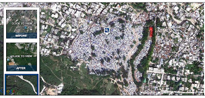
Here are three satellite photos of Haiti pre and post-earthquake. Go to the link below to manipulate the pictures for a different view and for different parts of Port au Prince. It is quite shocking. The first picture is of a golf course. The second picture shows the emergence of tent-cities on the property. The third shows, well, signs of permanancy of the tent-cities.
NYTIMES: Destruction in Haiti, Then and Now


No comments:
Post a Comment